Walking, Hiking, Running, and Bicycling Trails in Stanley Park
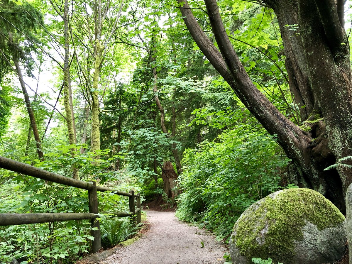
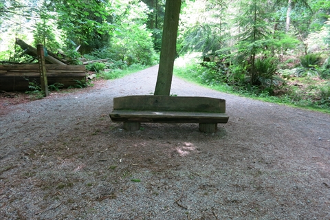
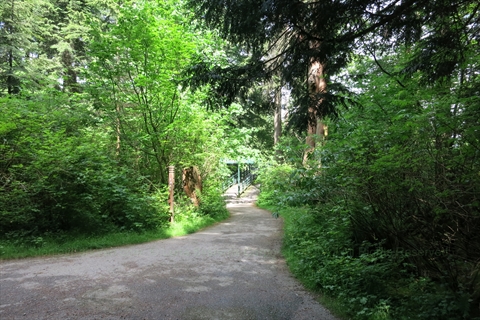
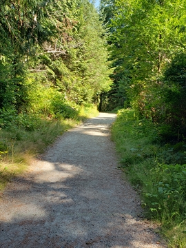
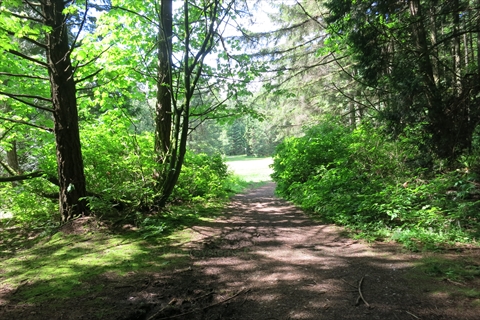
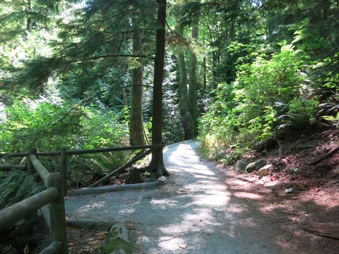
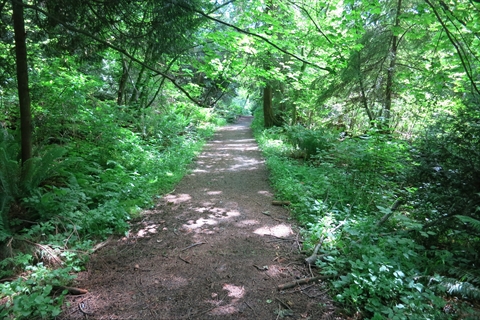
There are over 27 kilometres of beautiful trails within the forested area of Stanley Park that are excellent for hiking, Walking, Bicycling or Running.
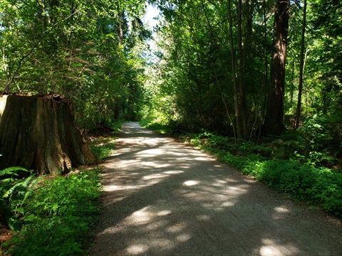
These trails range from very flat to fairly steep depending on the trail.
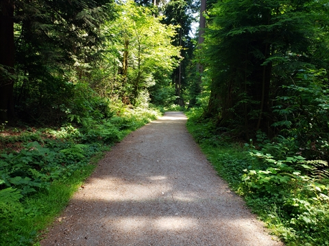
All the trails are well marked.
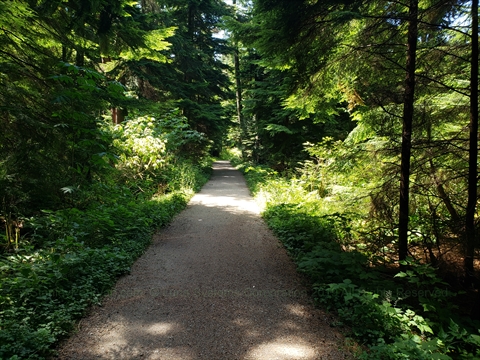
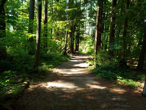
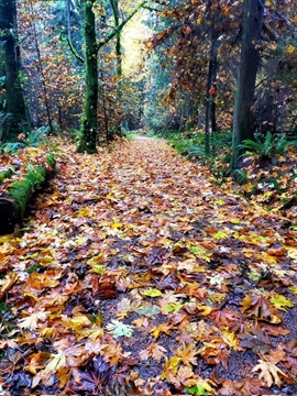
It is amazing to get on some of these trails that are among some of the Tallest Trees in the world.
Although the trails are close to downtown Vancouver, you would never know that there is fantastic hiking in Stanley Park. It actually feels like you are in the outdoors far from the city!
Also, along some of the trails is some Artwork that you may stumble upon.
A map of all the trails of Stanley Park can be found at: Stanley Park Trails Map
It is well worth a walk or hike on the trails in Stanley Park!
Below we rank all the hiking trails (that we have been on so far!) in Stanley Park on difficulty on a scale of 1-5 with 1 being completely flat(easy) to 5 being steep(difficult).
Avison Trail
Avison trail is named after Henry Avison who was the Stanley Park Superintendent from 1888-1895.
Avison Trail runs from the seawall near Chaythoos up to the Stanley Park Causeway at the overpass near Prospect Point.
Use this trail to get to Prospect Point from the north part of the Stanley Park Seawall.
This trail is bicycle friendly.
The difficulty rating of this trail is: 5 (difficult).
Beaver Lake Trail
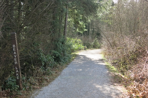
Beaver Lake Trail goes around Beaver Lake.
The northern part of this trail is bicycle friendly.
The difficulty rating of this trail is: 1 (easy).
Brockton Oval Trail
Brockton Oval Trail goes from Avison Way to the Brockton Oval.
Use this trail to get to/from the Brockton Oval when walking. It is a shorter distance than going along the seawall.
The difficulty rating of this trail is: 2 (fairly easy). It is a fairly wide gravel path with a slight incline as you head east.
Brockton Point Trail
Brockton Point Trail goes from Avison Way to the Brockton Playing Fields.
Use this trail to get to/from the Brockton Playing Fields when walking. It is a shorter distance than going along the seawall.
The difficulty rating of this trail is: 2 (fairly easy). It is a fairly wide gravel path with a slight incline as you head east.
Bridle Path
Bridle Path is one of the main and longest trails in Stanley Park.
It goes from Second Beach to Prospect Point. Note it turns into Prospect Point Trail after crossing Rawlings Trail.
Use this trail to get between Second Beach and Prospect Point.
This trail is bicycle friendly.
The difficulty rating of this trail is: 4 (fairly difficult). It is a fairly wide path with a big incline as you head north.
Cathedral Trail
Cathedral Trail is a short trail that in the past was primarily used to get to the Seven Sisters Trees.
It goes from the Duck Pond to Lees Trail.
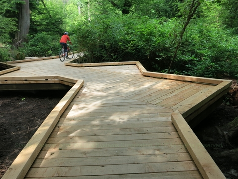
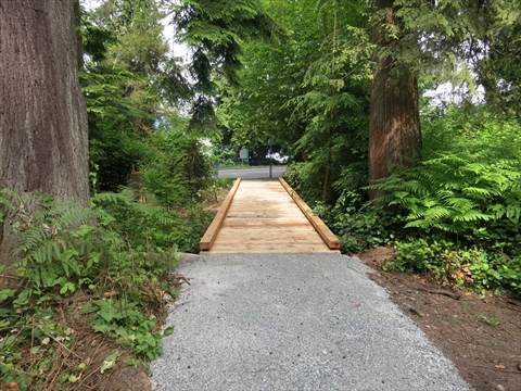
On this trail is a 75m long elevated Boardwalk made of western red cedar. This boardwalk is here to protect the sensitive habitat.
Use this trail to get to the site of the Seven Sisters Tree and/or to bet to Bridle Path from the Duck Pond.
The difficulty rating of this trail is: 1 (easy). It is a fairly narrow flat trail with heavy foliage in the summer.
Chickadee Trail
Chickadee Trail is a trail that goes from the northern part of the Stanley Park Seawall to Stanley Park Drive.
Use this trail to connect to other trails (Reservoir trail, Hanson trail) heading south within Stanley Park.
The difficulty rating of this trail is: 4 (fairly difficult).
Eagle Trail
Eagle Trail is a trail that goes from Chickadee Trail to Ravine Trail.
Use this trail to connect to other trails (Chickadee trail, Ravine Trail).
The difficulty rating of this trail is: ???.
Eldon Trail
Eldon Trail is a short trail that goes from the Stanley Park Causeway (at Prospect Point) along the edge of the northmost part of Stanley Park. Access it off of Avison Trail.
The difficulty rating of this trail is: ???.
Hanson Trail
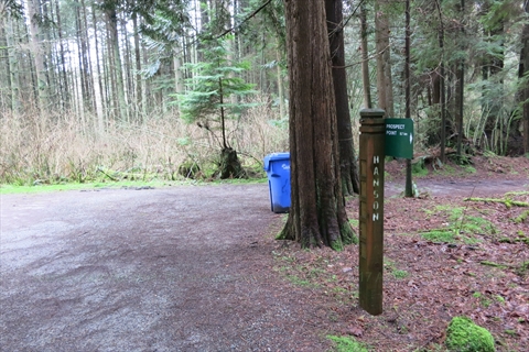
Hanson Trail is a trail that goes from Eagle Trail to North Creek Trail.
Use this trail to connect to other trails (Eagle Trail, North Creek Trail).
The difficulty rating of this trail is: ???.
Hummingbird Trail
Hummingbird Trail is a short trial that goes from behind the Malkin Bowl to Stanley Park Drive.
The difficulty rating of this trail is: ???.
Kinglet Trail
Kinglet Trail is a trail that goes from the Avison Way (near Brockton Oval) to Avison Way (Where it meets Stanley Park Drive. Avison Way splits into a Y and this trail connects the ends!
Use this trail to connect to other trails (Eagle Trail, North Creek Trail).
The difficulty rating of this trail is: ???.
Lake Trail
Lake Trail is a short trail that connects Beaver Lake Trail to Lovers Walk.
Use this trail to connect to other trails (Beaver Lake Trail, Lovers Walk).
This trail is bicycle friendly.
The difficulty rating of this trail is: ???.
Lees Trail
Lees Trail is a long east-west trail that goes between Rawlings Trail and Tatlow Walk.
This trail is named after Andrew E. Lees who was a Vancouver Parks Board Commissioner from 1902 to 1915. He was involved with the initial work on the Stanley Park Seawall.
Use this trail to cut across Stanley Park from north of Lost Lagoon to the west side of Stanley Park.
The difficulty rating of this trail is: 2 (fairly easy).
Lost Lagoon Trail
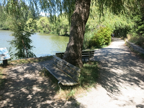
The Lost Lagoon Trail is a trail goes around Lost Lagoon.
The difficulty rating of this trail is: 1 (easy).
Lovers Walk
Lovers Walk is a long east-west trail that goes between Ferguson Point to the Stanley Park Causeway.
Use this trail to cut across Stanley Park from north of Lost Lagoon to the west side of Stanley Park.
This trail is bicycle friendly.
The difficulty rating of this trail is: 3 (moderate).
Mallard Trail
Mallard Trail is a short trail that runs from the Vancouver Aquarium to the Brockton Oval.
Use this trail to get to the Brockton Oval from the Vancouver Aquarium .
The difficulty rating of this trail is: 2 (fairly easy).
Meadow Trail
Meadow Trail is a short trail that runs from the Hollow Tree to Thompson Trail.
Use this trail to get into the middle of Stanley Park from the Hollow Tree.
The difficulty rating of this trail is: ???.
Merilees Trail
Merilees Trail is a long trail that runs from Stanley Park Drive(near Prospect Point Picnic Area) to Third Beach.
This trail is named after Harold Merilees who was General Manager of Tourism Vancouver in the 1960s.
This trail can be used to go down the west side of Stanley Park on a trail rather than on Stanley Park Drive.
The difficulty rating of this trail is: ???.
Miniature Train Trail
The Miniature Train Trail is a trail that goes around the area where the Miniature Train operates.
The difficulty rating of this trail is: 2 (fairly easy).
North Creek Trail
The North Creek Trail is a trail that runs almost parallel to the Stanley Park Causeway between Beaver Lake and Hanson Trail.
The difficulty rating of this trail is: ???.
Prospect Point Trail
Prospect Point Trail is a trail that connects Prospect Point and Bridle Path.
Use this trail to traverse between Prospect Point and Second Beach.
This trail is bicycle friendly.
The difficulty rating of this trail is: 4 (moderate).
Racoon Trail
Racoon Trail is a short trail that connects Prospect Point Trail to Rawlings Trail.
The difficulty rating of this trail is: ???.
Rawlings Trail
Rawlings Trail is a long trail goes up the west side of Stanley Park from the Duck Pond to Prospect Point Trail. It generally follows Stanley Park Drive.
This trail, which is the longest in Stanley Park, is named for W.S. Rawlings who was the Park Board's longest serving Superintendent.
This trail is bicycle friendly.
The difficulty rating of this trail is: 4 (moderate).
Ravine Trail
Ravine Trail is a short trail that connects Beaver Lake to the Stanley Park Seawall on the north side of the park.
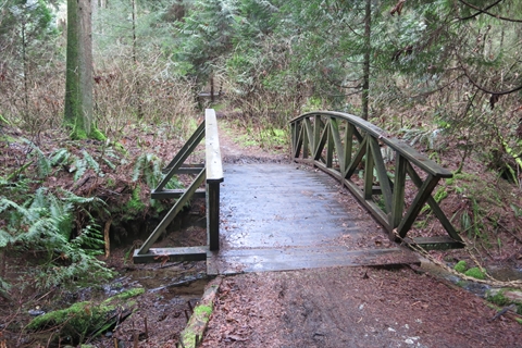
This trail is one of the most picturesque trails in the park.
The difficulty rating of this trail is: 4 (moderate).
Reservoir Trail
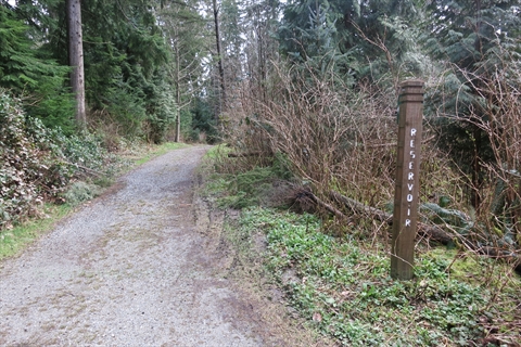
Reservoir Trail is a trail that connects North Creek Trail to Eagle Trail.
The difficulty rating of this trail is: ???.
Siwash Rock Trail
Siwash Rock Trail is a trail that leads down to the Siwash Rock Lookout from Merilees Trail.
The difficulty rating of this trail is: ???.
Squirrel Trail
Squirrel Trail is a short trail that connects Lake Trail to Lovers Walk.
The difficulty rating of this trail is: ???.
South Creek Trail
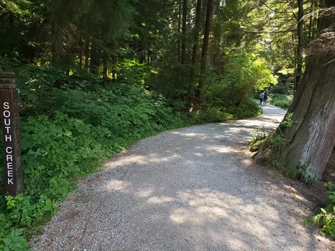
South Creek Trail is a trail that goes from the Shakespeare Garden to Beaver Lake Trail.
The difficulty rating of this trail is: ???.
Tatlow Walk
Tatlow Walk is a long trail that goes from the north side of Lost Lagoon to Third Beach.
This trail was named for R.G. Tatlow who was a Park Commissioner 1888-1905.
The difficulty rating of this trail is: ???.
Third Beach Trail
Third Beach Trail is a short trail that goes from the Hollow Tree to Third Beach.
The difficulty rating of this trail is: 4 (fairly difficult).
Thompson Trail
Thompson Trail is a trail that goes from Bridle Path to Racoon Trail.
This trail was named for C.W. Thompson who was a Park Commissioner 1937-1938; 1940-1942.
The difficulty rating of this trail is: 4 (fairly difficult).
Tisdall Walk
Tisdall Walk is a short trail that goes from Bridle Path to Racoon Trail.
This trail was named for C.E. Tisdall who was Park Commissioner 1904-1909; 1926-1934.
The difficulty rating of this trail is: 4 (fairly difficult).
Tunnel Trail
Tunnel Trail is a trail that goes from Pipeline Road to a trail near Stanley Park Drive.
Tunnel Trail also has a small Boardwalk.
The difficulty rating of this trail is: ???
Wren Trail
Wren Trail is a short trail that goes from the Stanley Park Causeway to the South Creek Trail.
The difficulty rating of this trail is: ???